UPDATE: Wednesday, May 3rd, 2017
Through Phases 1 and 2 of the Integration of AWOS/ASOS with RWIS project, the research team developed and launched the Aviation Weather Information system and website that aggregates and displays important aviation weather information and forecasts from numerous sources. On a single website, the weather information covers the entire state of California and provides a broader picture of weather that could affect aviation in areas that otherwise would not have this capability.
Phase III of the Integration of Aviation AWOS with RWIS project has just begun. The research team and the Project Technical Advisory Panel (PTAP) held a Kick Off meeting on Thursday, March 2nd, 2017. During this phase of the project, the website and its systems will be migrated from Montana State University to a Caltrans server to be maintained and supported by Caltrans IT.
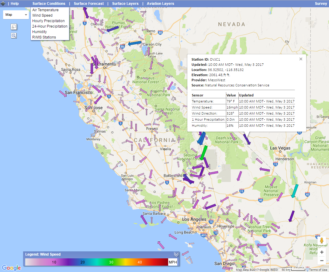
The screenshot below from the current website shows the Surface Wind Speed layer. This layer displays the current direction and magnitude of the wind on the ground as it is reported by various weather stations.

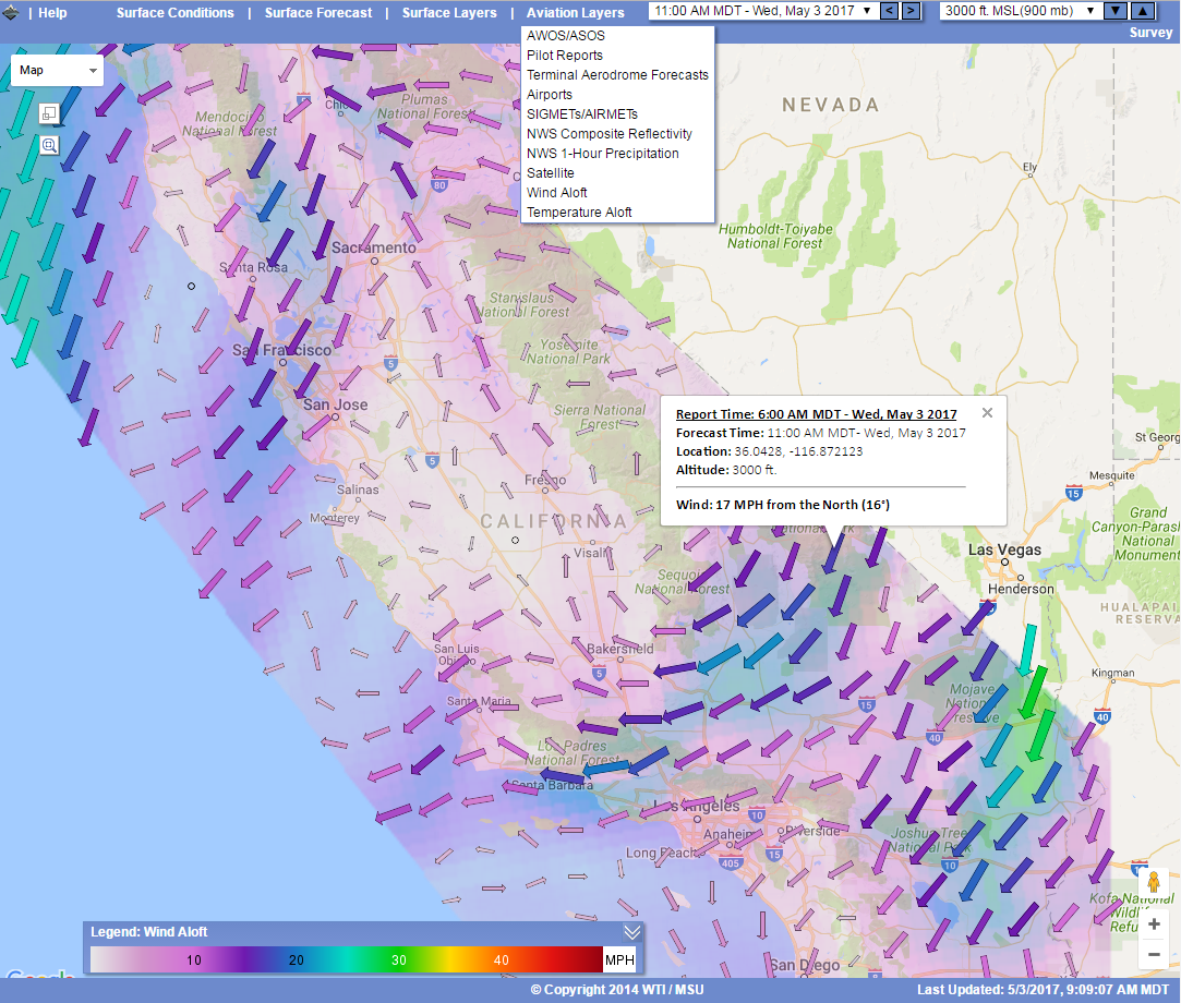
The Wind Aloft layer shows the current direction and magnitude of the wind at various altitudes with an easy to understand visual display.

This process has several goals to allow for the transfer to go smoothly. The main goals in this phase include:
- Providing Information Technology Services Department (ITSD) staff with information about the processes of the site so that they are well equipped to install and maintain the site effectively.
- Supplying Caltrans with all of the final code, images and files that allow the site to function fully and create all the layers of the Aviation Weather Information Map.
- Provide Caltrans with the scripts necessary to retrieve and process data and generate the KML and JSON files needed for the map.
- Prepare and distribute the documents needed for Caltrans to implement the Aviation Weather Information Map on their servers.
To accomplish the goals listed above, there are several tasks that the research team will accomplish:
Task 1: Site Review and Update
The main goal of this task is to make sure that the site is currently operating with full functionality and to provide Caltrans with some of the files needed to run the site. Since the end of Phase II and the start of Phase III some time has elapsed during which provider data locations and formats, web browser versions, etc. may have changed. These changes may have affected the functionality of the Aviation Weather Information system. The research team will review the system and ensure that any affected functionality is fixed and the system is fully operational.
Task 2: Stand-alone Demonstration CentOS Installation
The research team will install the system on a virtual, stand-alone CentOS server at WTI to demonstrate the capacity for the program to run on a standard CentOS server.
Task 3: System Documentation
The research team will produce documentation with recommendations on how to implement, install, configure, operate, maintain and support the Aviation Weather Information system. This documentation will include a user guide and “cheat sheets.”
Task 4: Technical Support
Technical support will be provided to Caltrans as needed via phone or email to assist with the implementation and operation of the system.
Check out the Aviation Weather Information site at http://aviation.weathershare.org/.

