UPDATE: Monday, February 8th, 2016
Phase II of the Integration of Aviation AWOS with RWIS project was recently completed. The project focused on the development of a prototype system that integrates weather data from aviation Automated Weather Observing Systems (AWOS) and Automated Surface Observing Systems (ASOS) and surface transportation Roadside Weather Information System (RWIS), as well as surface and aloft weather forecasts alerts and warnings, satellite and radar imagery, roadside cameras and more. In addition to system development, the project team conducted a business case analysis, researched additional sources of relevant data, documented detailed system requirements, analyzed gaps in existing weather station coverage, and used three separate mechanisms to evaluate the system.
A final report presentation was delivered in conjunction with the Caltrans October Research Connection Event. See the December 3rd, 2015, project update for more details.
The Integration of Aviation Automated Weather Observation Systems (AWOS) with Roadside Weather Information Systems (RWIS), Phase II, Final Report can be downloaded here, from the AWOS/RWIS Project's Documents page, and from the Documents archive.
The following figures from the final report help to illustrate the project results:
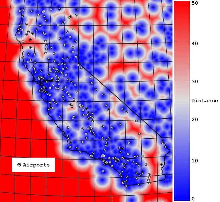
This heat map shows airport locations relative to estimated coverage for weather stations in the Aviation WeatherShare System (AWOS, ASOS, RWIS, MADIS, MesoWest). Blue indicates coverage and red indicates gaps (lack of coverage).

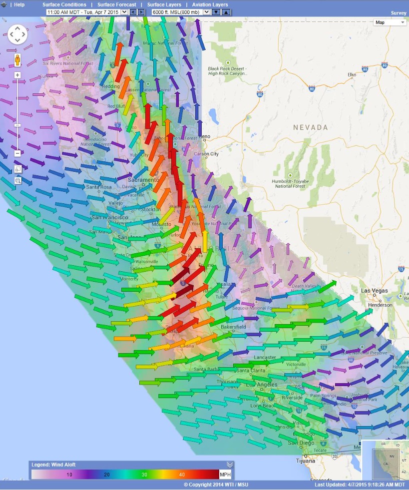
The Wind Aloft layer shows the direction and magnitude of forecast wind at various altitudes in an easy to interpret, visual display.

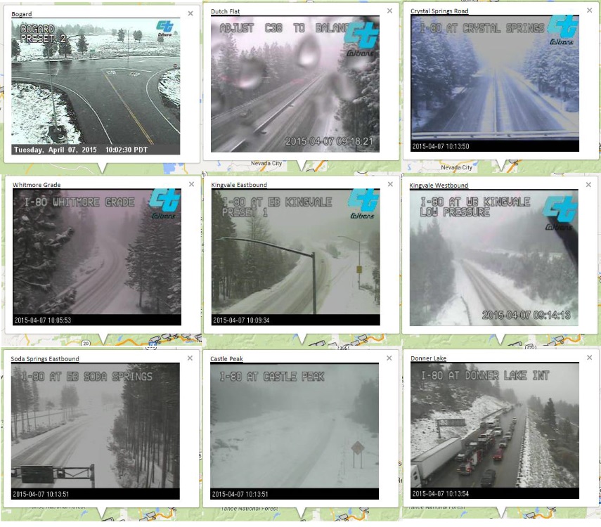
Caltrans CCTV camera images play a prominent role in the system. These roadway images provide relevant information about visibility, snow, rain, etc. A picture is worth a thousand words!

For more information, see the Integration of Aviation Automated Weather Observation Systems (AWOS) with Roadside Weather Information Systems (RWIS), Phase II, Final Report.

