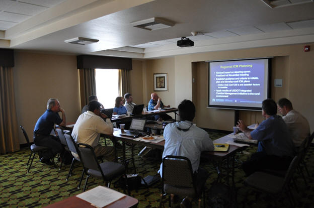

Photo by WTI
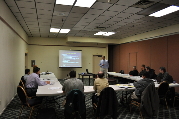
Photo by WTI
COATS Phase 5 will use the ITS experience and institutional knowledge of stakeholders in the region, combined with technology transfer activities from the Western States Rural Transportation Technology Implementers Forum (the WSRTTIF, or the Forum) and incubator projects. These incubator projects have been identified by the Western States Rural Transportation Consortium (WSRTC) region of California, Oregon, Washington and Nevada, to continue successful demonstration of ITS technologies in a rural context. This will provide benefit for stakeholders both within and outside the COATS region. Among the tasks slated for completion during COATS Phase 5 are the following:
Western States Rural Transportation Technology Implementers Forum (WSRTTIF)
The annual Forum, a meeting focused on providing technology transfer and networking opportunities for professionals working in design, implementation, and maintenance of ITS technologies in rural environments, will continue under this task. The Forum was conceived to enable ITS practitioners to reap the same benefits of information sharing that ITS planners in the COATS region had been realizing over the last several years. It is unique nationally with respect to its participants, format, and technical content, and its origin and development reflects the idea of using COATS as an incubator for innovations in the use of technology to address rural transportation challenges.
The 2014 Forum was held in Yreka, California, June 17th-19th. Go to the Forum website at www.westernstatesforum.org for more information.
Year 1 Incubator Projects
During the first year of the COATS 5 effort, this task will examine two incubator projects, low-cost research efforts that serve as a “proof of concept.” These incubator projects are described below.
Survey of Western States Safety Warning Devices
Agencies across the west have deployed various ITS systems to address a number of different local safety and operational concerns. These systems are “self-contained,” existing solely to address a particular issue at a given site. Such systems are typically roadside-based, with all equipment and processing completed on-site. Historically, there has been a lack of documentation related to these deployments, specifically an inventory of what is presently deployed. Tracking down the requisite information related to such widespread deployments is a challenge that cannot be easily completed by an individual. The absence of such an inventory has prevented the opportunity for practitioners to learn about the deployments of a particular device in another location prior to pursuing their own. To address this need, the work completed by this project documented where deployments are located, what their function/purpose is, and other information of interest. It provides practitioners with information to use in learning about the benefits of available systems, as well as a starting point for making contact with practitioners in other jurisdictions to learn more about their experiences with a system.
The research documented systems in California, Oregon, Washington, Idaho, Nevada, Utah, Arizona, New Mexico, Colorado, Wyoming, Montana, and Alaska, obtaining information for a total of 86 systems. The deployment types and the problems targeted were quite diverse. The intent of the majority of these systems is to provide drivers with advanced warning of a hazardous condition, such as ice, high winds, etc. Most systems used basic detection components to provide data to field controllers, which activated warnings based on conditions via basic and advanced mechanisms ranging from flashing beacons on metal signs to electronically-activated signs. It is hoped that the information and lessons documented in the report will aid practitioners in developing and deploying new systems in the future while avoiding the pitfalls of the past.
To review the final project report click here, or go to the COATS project Documents page. The report can also be found on the COATS Phase 5 documents page along with other project related work.
Regional Integrated Corridor Management Planning
This research work moved towards establishing criteria and processes for applying ICM to a rural context. It did not identify routes or develop specific plans for agencies to implement; rather, it demonstrated how the USDOT ICM initiative process can be transferred to a rural application if an agency chooses to do so in the future. Two bi-state routes in the WSRTC region were used for demonstration of the developed ICM planning framework. The work consisted of a literature review that examined existing ICM efforts and related research, corridor-planning efforts in the WSRTC region, summarized Emergency Operations Center protocols and plans in each of the Consortium states and a review of the United States Department of Transportation’s ICM planning approach. This was followed by the development of the regional ICM planning approach and application of the general planning approach to identifying alternative corridors for a primary route impacted by an ICM event. Based on this work, a series of conclusions and recommendations were then developed for future applications and research.
To review the final project report click here, or go to the COATS Phase 5 Documents page. The report can also be found on the COATS project documents page along with other project related work.
Year 2 Incubator Projects
This task completed one, larger incubator project by examining the application of Bluetooth technologies for travel time data collection in a rural environment, specifically at chain up areas, and in this case along I-5 in northern California.
On northbound I-5 north of Redding, CA, when chain controls are in place, trucks are required to chain up near Fawndale. When these chain restrictions are in place, there can be a backup of trucks for 5 miles or more, all the way to Pine Grove, CA, and beyond. Determining accurate delay times that could be displayed on changeable message signs (CMS) before the backup starts may reduce the wait times and backup length, which could improve safety and reduce driver frustration within this corridor. The intent of the project was to identify locations to deploy Bluetooth loggers and use the readings from these loggers in conjunction with chain control status to develop an algorithm to estimate travel time/delay through the affected area.
The project identified the number and location of sites needed to provide sufficient data to accurately determine delay. In addition to detail on the prospective sites and rationale for their selection, the results included a priority ranking for the selected sites. This project will continue in COATS Phase 6 with the actual deployment of Bluetooth devices at the selected locations. Data will be collected and algorithms developed to estimate the delays occurring at chain-up areas.
Outreach
PTAP committee members attended and presented at the 2012 and 2013 National Rural ITS Conferences and the 2012 Northwest Transportation Conference (Corvallis, Oregon). The presentation at the 2012 Northwest Transportation Conference discussed the WSRTC and its activities, the 2012 NRITS presentation discussed the WSRTC and the efforts being made to address rural ITS challenges, while the 2013 NRITS presentation covered the results of the safety warning device synthesis incubator project. Go to the Consortium Documents page to review the presentations.

